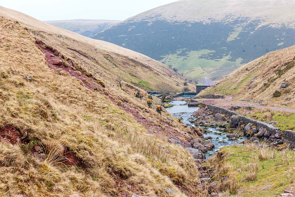
Explore the benefit of using Robotic Autonomous Systems (RAS) for gap reconnaissance.

Map the Gap (MtG) is a Capability Concept Demonstrator under Land Concepts, designed to improve the ability of Royal Engineer recce elements to conduct gap surveys by using RAS.
Background and requirement
Map the Gap (MtG) is a Capability Concept Demonstrator under Land Concepts, designed to improve the ability of Royal Engineer recce elements to conduct gap surveys by using robotic autonomous systems. In the first instance this focused on technically de-risking the types of sensors and the level of autonomy achievable to conduct the task, resulting in the demonstration of several platforms-and-sensor systems. There was then a need to refine a useful, military capability based on the information gained from the technical demonstrators, and exploit this to create viable RAS + Recce teaming concepts.
The aim of the exploitation task was to understand the benefits and limitations of different MtG system configurations on Blue’s ability to recce various gap types, against Red’s ability to detect, observe (and possibly contest) the recce activity. Outline requirements for concepts were then developed to be tested at a tabletop exercise, and a baseline for comparison was established through a separate workshop. Finally, the most viable concepts that came out of the tabletop exercise, along with their advantages and disadvantages were detailed in a final report.
Approach
The approach was as follows:
1. Research and establish representative geological gaps to be used in workshops and tabletop exercises. The following were the focus of the analysis:
• Close Support Bridge
• General Support Bridge
• Wide Wet Gap
2. Generate 6-8 draft concepts for testing.
3. Conduct a workshop to establish the baseline CONOPS of a RE gap recce.
4. Conduct a workshop to define the system configurations for concept recce systems.
• These configurations were partially based on or variations of extant concept demonstrators.
• 3-6 configurations were required.
• These concepts were established to be across multiple domains.
5. Following the workshop, conduct a series of tabletop exercises, where a gap recce task is stepped-through using the different system configurations. The metrics to assess were:
• Level of Blue exposure to recce.
• Level of Red awareness of recce.
• Level of Red understanding of Blue’s CoA.
• Time taken to carry out recce.
• Size of area surveyed.
6. Repeat this analysis using a variety of gap crossing types: a wide wet gap crossing, close support bridging gap crossing and a general support bridging gap crossing. The baseline (current) method was also played at the TTX to provide a baseline to assess the benefit of the system configurations.
Outcome
The tabletop exercises demonstrated that a combination of river-surface vehicle teaming with a rotary-wing air vehicle (both uncrewed), was the most beneficial addition to the RE’s recce team, as it was able to gather data on 5/6 of the key metrics desired by the recce team, whilst providing both speed, area coverage, and low profile during the recce. An extra and unexpected finding from the tabletop exercise was the uncrewed ground vehicles proved too slow, too massive, and too high profile to be viable for the mission set.